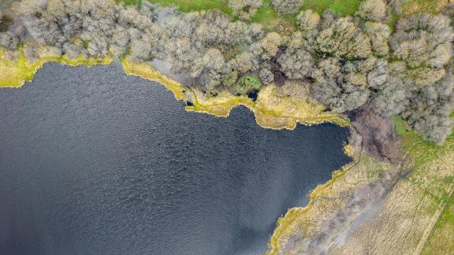
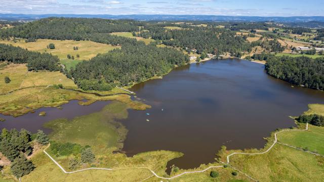
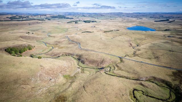
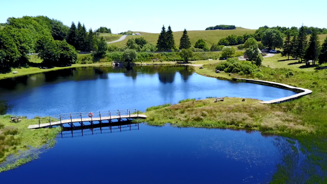
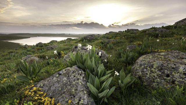
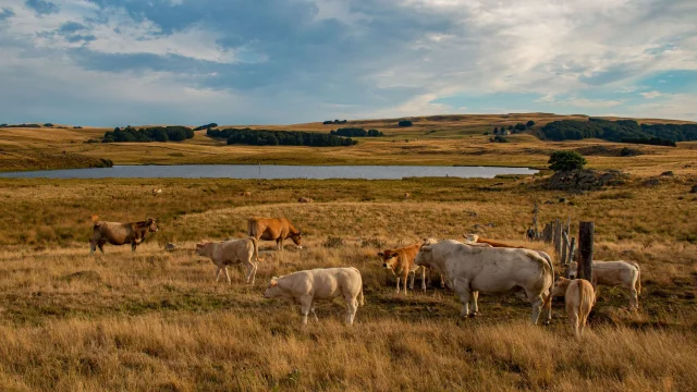
Lac des Salhiens is the last lake on the Route des Lacs, which starts at Saint-Germain du Teil (Booz traffic circle), south of Aubrac.
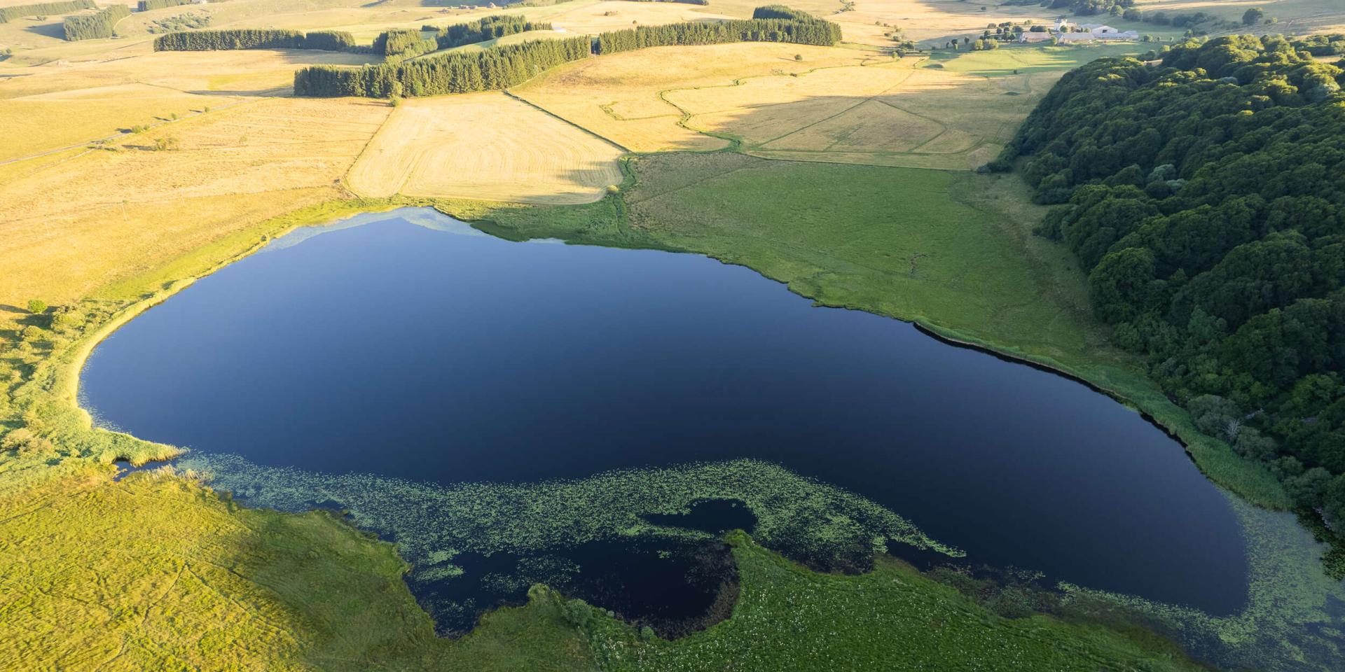 Lac des Salhiens on the lake route, Aubrac.
Discover
Lac des Salhiens
A stone's throw from the Cascade du DérocAll about
Lac des Salhiens
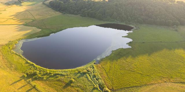 Lac Des Salhiens, Déroc waterfall.
Discovering the Lac des Salhiens
Situated close to the Bès stream, the mysterious and shady Lac des Salhiens is the last lake you’ll encounter on your route.
Its outlet is a stream that cascades a few hundred metres further down a cliff, forming the CascadeduDéroc, the highest waterfall on the Aubrac plateau.
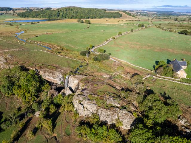 Cascade du Déroc and Lac des Salhiens.
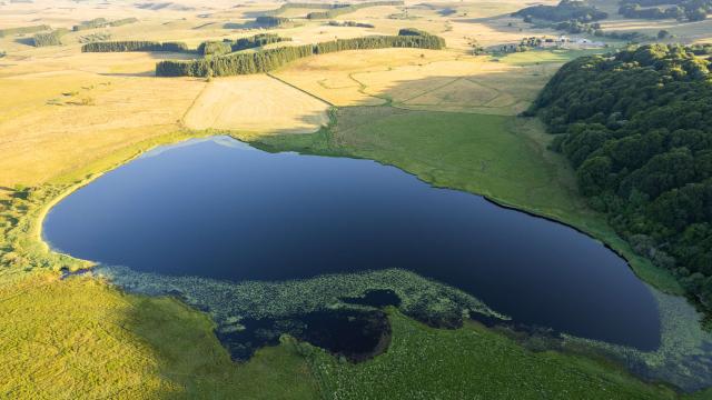 Lac des Salhiens on the lake route, Aubrac.
The marshy Salhiens lake
The Lac des Salhiensis surrounded by wet meadows of great ecological interest, and is home toa large number of animaland plant species.
The start of the Lac des Salhiens walk is 600m from the Cascade du Déroc parking lot.
There are blue markers and information panels on site.
If you take your time, you’ll get there in 1h30.
Bonus: you may be lucky enough to come across herds of Aubrac cows.
Prepare
