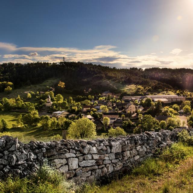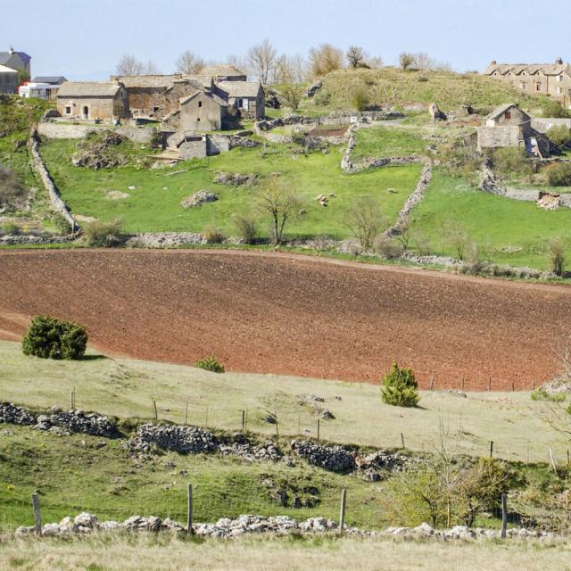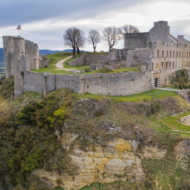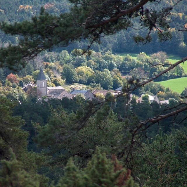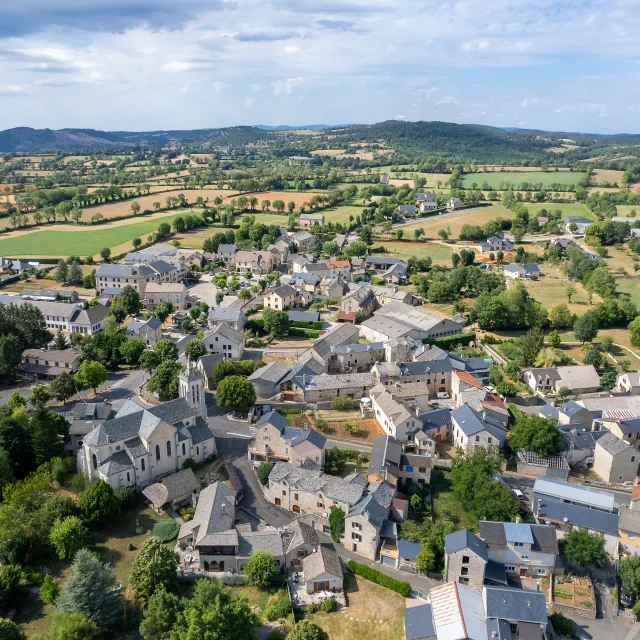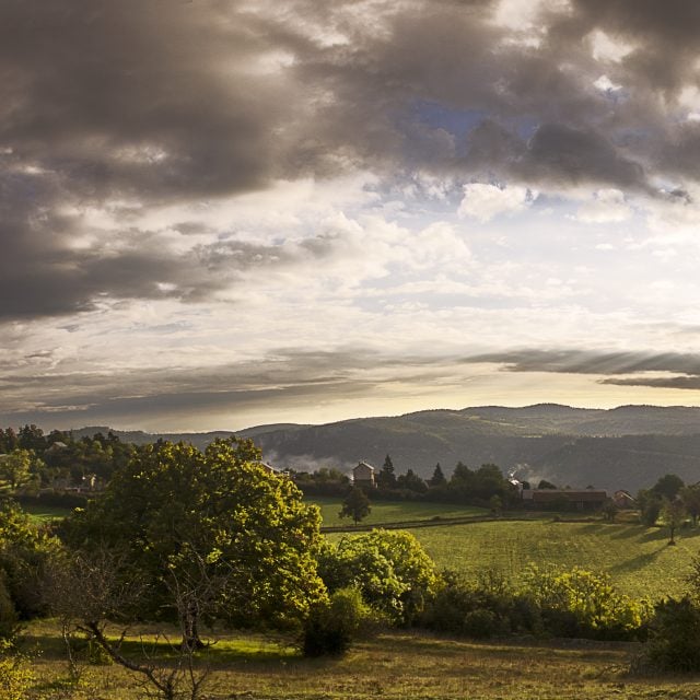
view of la capelle causse sauveterreView of La Capelle.
©View of La Capelle.
DiscoverLa Capelle

La Capelle

La Capelle is located 10km southeast of La Canourgue, on the Causse de Sauveterre. A former commune, now part of the town of La Canourgue, it comprises some fifteen hamlets and localities.

La Capelle

and its hamlets

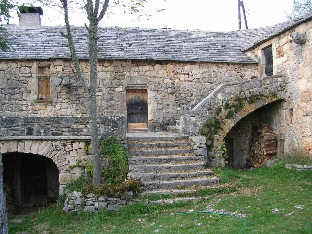
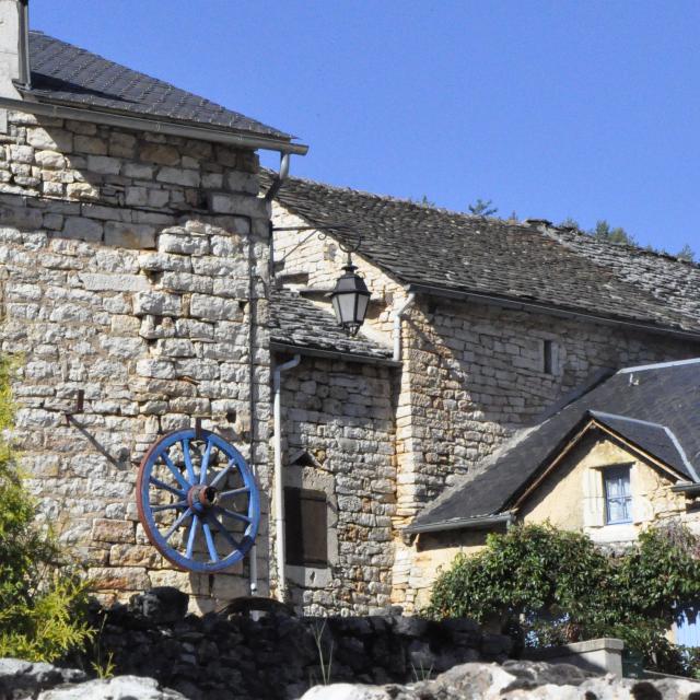
The commune of La Capelle covers more than 3,000 hectares, but has just 120 inhabitants. Their harsh living conditions on this dry, arid Causse have shaped the heritage of these hamlets, which, though modest, is nonetheless a privileged witness to a time when men worked tirelessly to survive in harsh, now-forgotten conditions.

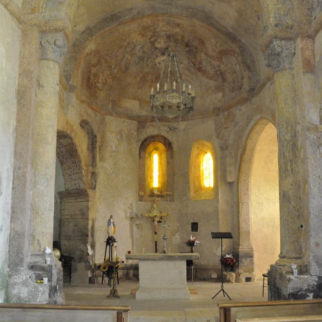
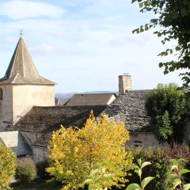
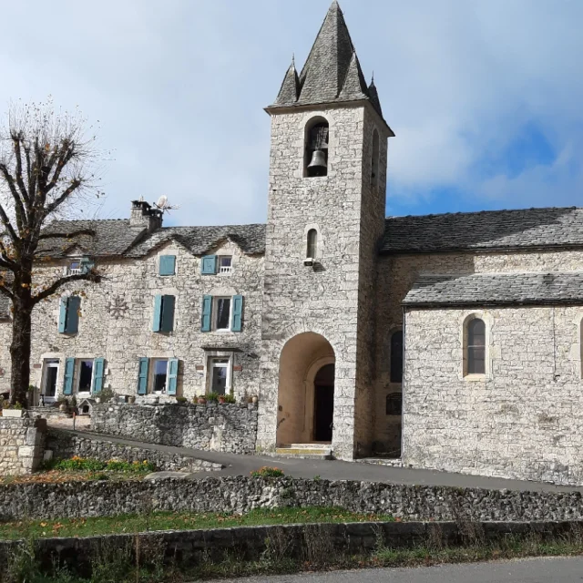
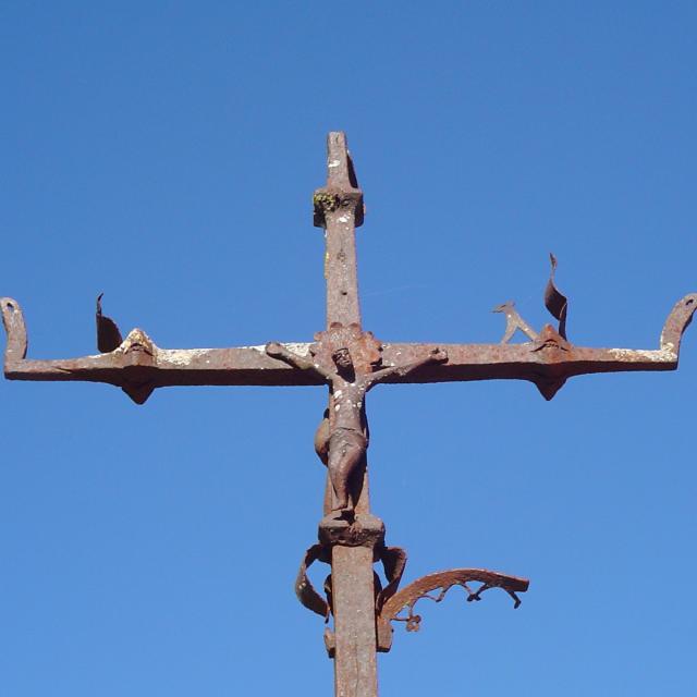
Nevertheless, La Capelle and the surrounding area are rich in remarkable heritage: the Monument Historique church of Saint-Martin (at La Capelle), the Croix de Fontjulien, the Mas de Gleize: a 15th-16th century Caussen farmhouse…
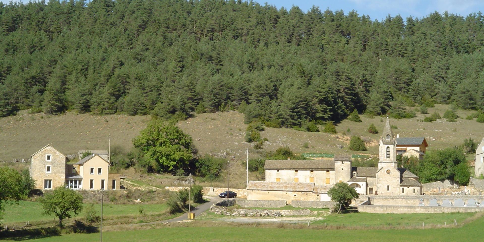
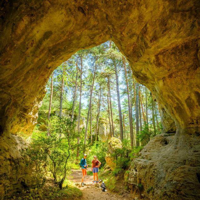
Magnificent landscapes

But not very fertile

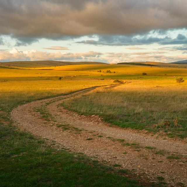
The soil of the Causse,a “limestone plateau“, is arid and makes agriculture less fruitful than in other regions of Lozère, although agriculture is omnipresent(sheep farming). There are two forests close to La Capelle: “Ceyla” and “Domal”. Wolves once inhabited these woods, and in winter, hunger would drive them close to dwellings. In the 19th century, 80% of the population owned just 12% of the land, forcing peasants to hire out their services as “day laborers”. Very few large landowners were able to make a profit from their land… Those days are gone!

La Capelle and its hamlets, scattered over 3,000 hectares, have virtually no fountains, ponds or marshes, except for a few ponds or lavognes dug by local residents. The hamlet of Fontjulien is an exception to the rule, taking its name from a fountain located to the north-west on the road from Fontjulien to La Canourgue. This fountain never runs dry, even though it’s not very abundant. In times of drought, the inhabitants would go there to draw the water they needed.

Discover also . ..

Close