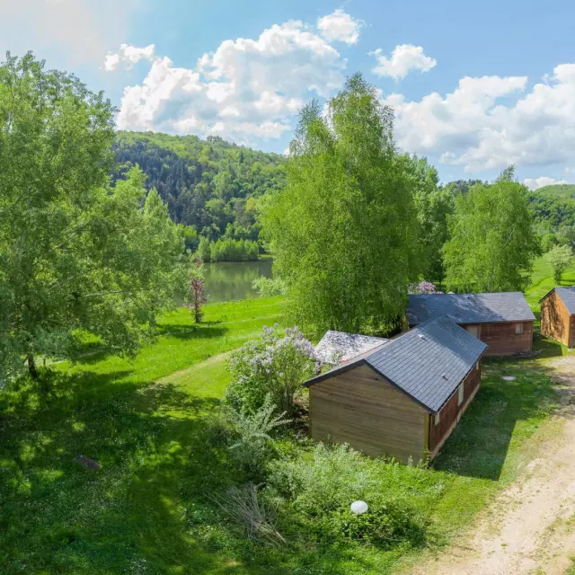
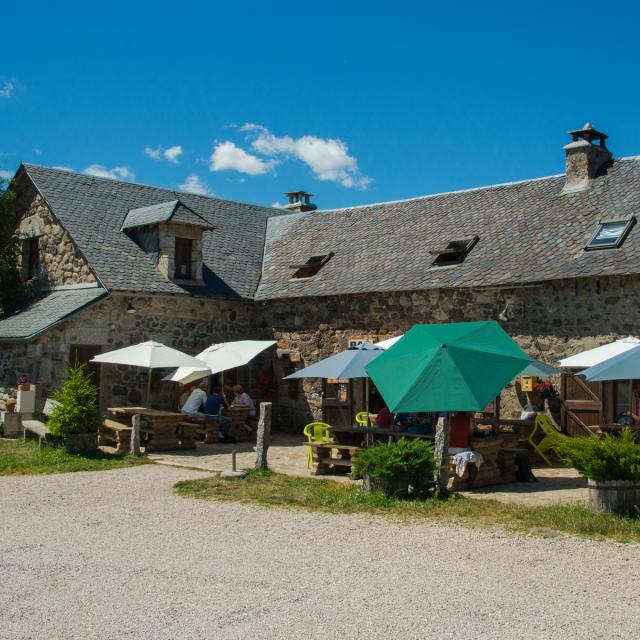
 View from Point Sublime, hiking.
Discover all
Short hikes (PR)
In the Gorges du Tarn, Vallée du Lot, Aubrac and Grands Causses regionsView and download
Hiking trails
From Aubrac to the Gorges du TarnDiscover
the list of Petites Randonnées
from Aubrac to the Gorges du TarnHiking with views of the Gorges du Tarn on Causse Sauveterre and Causse Méjean
Around Point Sublime, Saint-Rome de Dolan, les Vignes…
- N°1: Saint-Marcellin from Cauvel
- N°2: La Baousse del Biel from La Bougarie
- N°3: Cauvel from Cauvel
- N°4: Les Aubépines from Saint-Rome de Dolan
- N°6: La Caxe from Les Vignes
- N°8: Le Cirque des Baumes from Point Sublime
- N°9: Le Point Sublime from Saint-Georges de Lévejac
- N°12: Mont-Rose from Laval du Tarn
Hiking on the Causse de Sauveterre
Around Massegros, Saint-Georges-de-Lévéjac, Chanac…
- N°5: Recoules-de-l’Hom from Recoules-de-l’Hom
- N°7: La Devèze from Le Massegros
- N° 10 : l’Ancize from Saint-Georges de Lévejac
- N°11 : Le Mazet from Le Recoux
- N°13 : La Piguière from La Piguière
- N°14 : La Tieule from La Tieule
- N°15: Le Violon from Rouges-Parets
- N°16 : Les sentiers d’Auxillac from Auxillac
- N°17: La Capelle from La Capelle
- N°20: Cadoule from Cadoule
- N°19: Le sentier des Arts from Chanac
- N°35: Around the hamlet of Gazy from Le Gazy
- N°36: Prehistory trail between Laumède and La Nojarède
Hiking in the Lot Valley
Around La Canourgue, Banassac, Chanac…
- N°19: La Roquette from La Canourgue)
- N°20: Canilhac from Canilhac
- N°21 : Montferrand from Banassac)
- N°22: Red sandstone from Ségala
- N°28: L’Arbussel from Les Salelles
- N°29: Saliens trail from Les Salelles
- N°30: La Rocherousse from Le Bruel
- N°31: Sentier du Garde from Chanac
- N°33: Le Villard from Chanac
- N°34: Le Lot, rive gauche, rive droite from Chanac
Hiking in Aubrac
Around Saint-Germain du Teil, Les Salces, Col de Bonnecombe…
- N°23: Jewish tombs from Saint-Germain du Teil
- N°24: Le Petit Patrimoine from Saint-Germain du Teil
- N°25: La Croix du Pal from Les Calmettes
- N°26: La Boucle du Loup from Les Salces
- N°27: Lou Saltou from Col de Bonnecombe
- N°37: Le Pont de Mesclon from Saint-Pierre de Nogaret
- In what format can you download hiking trails?
You can download the hikes as PDF files on your computer, tablet or smartphone, or as GPX files (to be opened with a hiking application that displays GPX files).
- What are the signs for short hikes?
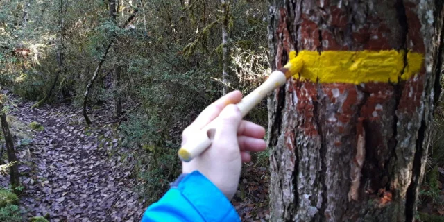
In France, the network of Petites Randonnées, known as “PR”, is marked in yellow.
The Petites Randonnées from Aubrac to the Gorges du Tarn are marked by local hiking associations. One of the signposters explained how signposting a hike allows him to hike in a different way, while opening up the practice to a less informed public. Find out more about his experience without further ad o!
- The markings on a hike are faulty. Who should I contact?
The best thing to do is contact us directly or report the problem via Suricate sentinelles des sports de nature.
- How are the local trails signposted?
At the start of each hike, you’ll find an orange starting sign indicating: hike name, elevation profile, mileage, estimated duration, elevation gain and PR markings.
Once on the circuit, you’ll find yellow markers; on some hikes, there may also be yellow wooden directional signs to guide you further.
